
How to Read New Orleans by Neighborhood
A context-first framework for planning New Orleans by river, adjacency, neighborhood rhythm, and respectful observation.
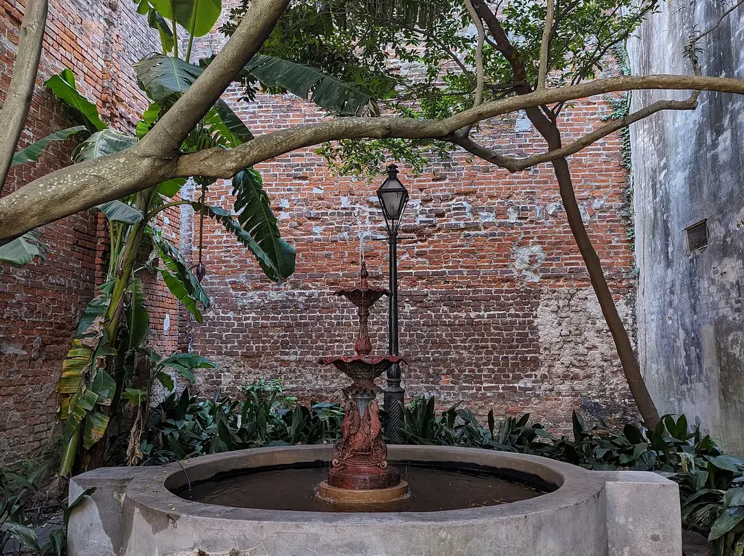
New Orleans becomes easier to understand when you stop treating the city as one continuous attraction. Its neighborhoods sit close together, yet the experience can change within a few blocks: a commercial avenue gives way to a shaded residential street, a tight French Quarter block opens toward the river, or a streetcar ride shifts from downtown masonry to an oak-lined corridor. A useful neighborhood plan begins with relationships rather than a list of famous stops.
This guide offers a framework for reading those relationships. It is not a claim that every resident experiences a neighborhood in the same way, and it does not attempt to freeze living communities into historic labels. Instead, it helps a visitor notice geography, building scale, movement, and cultural context before choosing how to spend time.
Start with the river, not a compass
The Mississippi River bends through New Orleans, so local directions often make more sense as river side, lake side, uptown, and downtown than as simple north, south, east, and west. Streets can change direction as they follow the curve. A map that looks like a neat grid from far away becomes more intuitive once you see the river as the organizing edge.
Before the first full day, identify three anchors: the river, Canal Street, and the place where you are staying. Canal Street has long marked a major seam between the French Quarter side of downtown and the upriver districts. It is also a transit spine. The river tells you which way the older city faces. Your lodging anchor determines which journeys are walks, which are streetcar rides, and which deserve a deliberate transfer.
A good New Orleans itinerary is less about covering distance than understanding the change in rhythm between adjacent places.
French Quarter: look beyond the loudest block
The French Quarter is the city’s colonial core and one of its most recognizable districts, but Bourbon Street is only one line through a much more varied fabric. Royal Street, Chartres Street, Decatur Street, the river edge, residential blocks, courtyards, museums, restaurants, shops, places of worship, and working service spaces all occupy the same compact area.
Walk early enough to see the proportions without a crowd deciding every sightline. Notice how many buildings meet the sidewalk directly. Look for carriageways and narrow passages that lead toward internal courts. Compare brick, stucco, timber shutters, iron galleries, rooflines, and the changing scale near Esplanade Avenue. Do not assume that every balcony is French in origin or that decorative iron alone explains the district. The built record is layered, and many surviving buildings reflect Spanish-period rebuilding, Caribbean influence, later American additions, and constant adaptation.
A practical Quarter sequence
- Begin near the river to understand the district’s edge and commercial history.
- Move inland on one street rather than zigzagging after every landmark.
- Pause at a museum or historic collection where objects and documents add context.
- Use a parallel street for the return so the building rhythm changes.
- Leave room for one unplanned courtyard, gallery, or music stop instead of stacking reservations.
At night, stay attentive to crowd conditions and transportation. The Quarter can feel radically different after dark, but night should not be the only lens through which you see it.
Tremé: approach culture as community history
Tremé is central to the history of free people of color, Black civic life, social aid and pleasure clubs, music, performance, and neighborhood institutions. It is not an outdoor exhibit. A respectful visit prioritizes museums, cultural organizations, historic sites, public programs, and businesses that explain their own work.
Congo Square and the landscape now associated with Louis Armstrong Park can be an entry point, but they are not the whole neighborhood. Read first. Learn why mutual aid, parade traditions, churches, gathering places, and family networks matter. If a second line or community event is taking place, follow organizer guidance, keep a reasonable distance when photographing, and remember that participation is not the same as treating people as background scenery.
Use Tremé to deepen an understanding of how New Orleans music grew through institutions and everyday social life, not through one mythical birthplace story. The National Park Service and local cultural organizations offer useful context before a self-guided walk.
Marigny and Bywater: do not confuse color with a theme park
Downriver from the French Quarter, Faubourg Marigny and Bywater are often photographed for colorful cottages, music venues, restaurants, and art. The visual appeal is real, but the neighborhoods are also residential and have experienced significant change. Keep voices low on residential blocks, avoid photographing through windows or gates, and do not describe every façade as a carefree symbol of local life.
Frenchmen Street can be part of a music plan, yet a venue list should be checked close to the visit because programming changes. The more durable neighborhood lesson lies in scale: narrow lots, low building fronts, porches and stoops, corner businesses, rail and industrial traces, and occasional views toward the river. Walk one focused section rather than assuming the full distance is a single entertainment corridor.
The Garden District and Irish Channel: compare, do not flatten
Upriver neighborhoods show a different city. The Garden District is known for larger lots, nineteenth-century residences, and a greener setback from the street. Nearby Irish Channel blocks include a different mix of lot sizes, shotgun houses, cottages, and commercial edges. A casual visitor can miss how quickly one fabric changes into another.
The St. Charles streetcar offers a moving cross-section, but it is public transit, not only a sightseeing vehicle. Make room for riders, understand current fare and service information through the Regional Transit Authority, and avoid blocking doors for photographs. From the route, watch the relationship between neutral ground, tracks, live oaks, institutions, residences, and commercial nodes.
Architecture tours are most useful when they explain building types, labor, climate response, and urban development rather than presenting houses as isolated luxury objects. Avoid romantic language that erases the people who built, maintained, and served these properties.
Mid-City, Bayou St. John, and City Park: make space for a quieter chapter
Mid-City and Bayou St. John can provide a useful pause between dense downtown days. The street pattern, water, neighborhood businesses, and access to City Park create a different pace. City Park’s mature live oaks and cultural institutions offer scale and shade, but conditions can vary after rain and during major events.
This is a good area for a morning or late-afternoon sequence: a short walk near the bayou, a museum or garden, and a meal nearby. It is not necessary to frame the time as an escape from “the real city.” Quiet landscapes and ordinary recreation are part of New Orleans life.
Algiers Point: cross the river to change the frame
A ferry ride can do more for geographic understanding than another hour with a map. From the river, the French Quarter and central business district become one edge in a much larger port landscape. Algiers Point offers residential streets, levee views, and a different relationship to downtown.
Check current ferry service with the transit authority before leaving. Once across, keep the plan modest. The point is not to collect hidden-gem claims; it is to see the river as working infrastructure and a daily connection. Respect residential quiet and avoid wandering onto industrial or restricted property.
Warehouse Arts District and the contemporary city
The Warehouse Arts District and adjacent central business district show adaptive reuse, museums, galleries, civic buildings, hotels, restaurants, and residential conversion. This is where a history-focused trip can reconnect with contemporary New Orleans. Large masonry buildings, loading-bay proportions, modern additions, and public art create a different visual scale from the Quarter.
When photographing murals or installations, record the artist and location. Public visibility does not place an artwork in the public domain. Visit the institution, gallery, or artist source when possible rather than treating the work as free decorative texture.
Build days by adjacency
New Orleans heat, humidity, rain, crowds, street conditions, and event closures can turn a theoretically short route into a demanding day. Grouping nearby activities reduces backtracking and leaves room for a slower meal or an unexpected performance.
| Trip rhythm | Useful pairing | Why it works |
|---|---|---|
| Colonial core and river | French Quarter, riverfront, ferry view | Builds the basic geographic frame before adding detail. |
| Music history and live context | Tremé institution, jazz history resource, evening venue | Places performance inside community and historical context. |
| Upriver architecture | St. Charles streetcar, focused walk, Magazine Street segment | Shows the shift in lot, street, and building scale without rushing. |
| Water and canopy | Bayou St. John, City Park, nearby meal | Balances dense streets with landscape and cultural institutions. |
| Contemporary city | Warehouse Arts District museum, gallery, adaptive-reuse walk | Prevents the trip from treating New Orleans as only historic scenery. |
Use transit as part of the reading
Streetcars, buses, ferries, walking, taxis, and ride services each reveal different relationships. A streetcar is useful for a corridor; it is not always the fastest connection. A ferry reframes the river. Walking shows the frequent transitions that a vehicle skips. Check current RTA information for routes, fares, accessibility, and service changes.
Plan one backup for every time-sensitive transfer. During festivals, parades, construction, and severe weather, normal routes may change. Avoid building an itinerary that fails if one vehicle is delayed.
Photograph with context
New Orleans is visually generous, but that does not remove the need for consent and judgment. Ask before making a person the subject of a close photograph. Follow venue rules. Credit artists. Do not photograph private courtyards through gates, grieving families during funeral traditions, or children without permission. A wider frame can often say more about place than a close crop of a resident.
Keep captions factual. “Colorful house” is less useful than a verified neighborhood, building type, or material. If you do not know, record the location and research later rather than inventing a romantic story.
Treat weather and access as part of the route
Heat, humidity, intense rain, uneven paving, construction, and long waits can reshape a day. They are not side notes to add after the itinerary is finished. Build shade, water, indoor pauses, and a realistic walking pace into the route from the start. A short distance on a map may still include broken surfaces, standing water, a crowded platform, or a crossing that takes longer than expected.
Accessibility also varies by building, vehicle, entrance, and event setup. Historic character does not guarantee step-free access, and a general district description cannot answer a specific visitor’s needs. Check the responsible venue or transit source, ask precise questions, and keep an alternative that offers the same kind of experience rather than a lesser afterthought. For example, if one historic interior is inaccessible, another museum, river view, performance program, or architecture resource may provide meaningful context.
Severe weather and official emergency guidance always outrank a planned route. Follow current public instructions and do not travel into restricted areas for photographs. A flexible plan is not a compromise; it is part of reading the city responsibly.
Food belongs to neighborhoods and people
A food plan should include more than a checklist of famous dishes. Look at the setting, meal rhythm, history, and people behind the kitchen. Creole and Cajun are not interchangeable labels. Restaurant traditions, home cooking, seafood systems, immigrant contributions, bakeries, bars, markets, and contemporary chefs all shape the city.
Choose a small number of meals with different contexts: a long-established dining room, a neighborhood counter, a bakery or coffee stop, and a contemporary kitchen. Current menus and hours belong to the business and should be confirmed directly.
Leave room between the notes
The phrase is not an instruction to search for a secret version of New Orleans that other travelers have missed. It is a reminder to notice the interval: the walk from a museum to lunch, the shift in paving beneath a gallery, the sound before a band turns a corner, the breeze on a ferry deck, or the way a residential block changes after rain.
A successful trip does not need to conquer every neighborhood. It needs enough context to know that each place is more than a visual category. Build two or three strong geographic relationships, verify current logistics, and allow the city to remain larger than the itinerary.
A final planning checklist
- Mark the river, Canal Street, and your lodging before building routes.
- Pair adjacent neighborhoods instead of crossing the city repeatedly.
- Check official transit and venue information close to the visit.
- Balance one large cultural moment with one quiet landscape or material detail.
- Choose institutions and local organizations that explain their own history.
- Ask before close photography and credit visible artworks.
- Keep weather, accessibility, rest, and hydration in the schedule.
- Leave one open interval every day.
Still comparing Sightseeing?
Ask for tour ideas, hotel suggestions, or a simple trip plan that combines both.
Trip Helper
Keep following the city
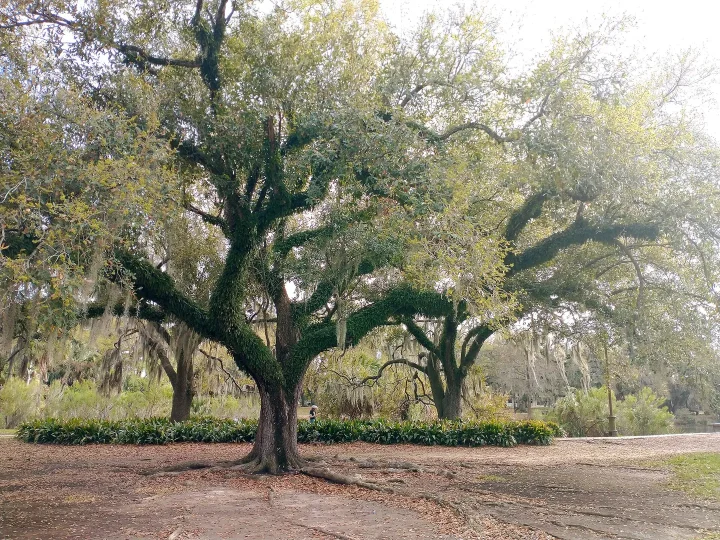
Where to Stay in New Orleans by Trip Rhythm
Choose a base by walking patterns, evening plans, quiet, transit, and neighborhood tradeoffs, not invented inventory.
Read the guide
What to Notice at the New Orleans Table
Move beyond a dish checklist by paying attention to process, dining room, neighborhood, sources, and changing menus.
Read the guide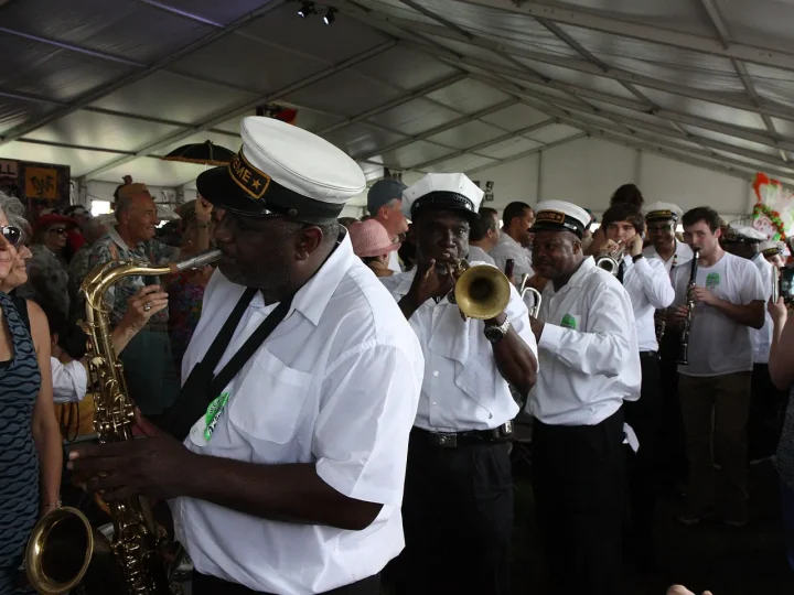
Listening With Context in New Orleans
A respectful way to connect jazz history, neighborhood institutions, live rooms, and public traditions.
Read the guide